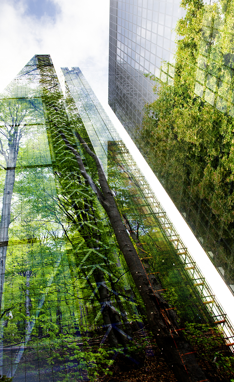
At the community level, we support policies, partnerships, adaptation planning strategies, and land use solutions with innovative strategies to strengthen a community's economic, social, and environmental foundations. We support community resilience plans, adaptive risk management strategies, green infrastructure plans, policy updates, community partnerships, and strategic engagement planning. At the site-specific scale, Marstel-Day provides a range of master planning and site-specific solutions that support client programming while also serving, enhancing, and regenerating the functions of natural systems. Our efforts foster resiliency and provide ecosystem services including designs for natural and hybrid infrastructure, habitat restoration, living shorelines and coastal resilience, ecological designs, stream and riparian system restoration, and resilient landscapes. We support clients in site selection, project planning and certification for LEED or Sustainable SITES, and implementation of measures that conserve water and energy, reduce waste, and provide for healthy living.
Our Team


Capabilities/Services
- Climate Vulnerability / Risk Assessments and Action Plans
- Land-Use Assessments, Strategies, and Plans
- Resilient Communities Toolkits and Policies
- Facilitation, Community Partnering, and Stakeholder Engagement Strategies
- Built and Natural Capital Field Assessments
- GIS Land Use Analyses and Geodesign Solutions
- Community-Military Joint Land Use and Compatible Use Studies
- Community Planning, Comprehensive Planning, and Zoning Assessments
- Military Master Planning / Installation & Area Development Plans
- Transportation Plans and Utilities Master Plans
- Military Installation Resilience Reviews and Action Plans
- Water Resources Analyses and Plans
- Sustainability, Environmental, and Ecological Site Plans
- Valuations and Cost/Benefit Analyses for Ecosystem Services
- Green Infrastructure and Climate Resilient Design
- Landscape Architecture and Regenerative/Ecological Design
- Design of Hybrid and Green Infrastructure Improvements
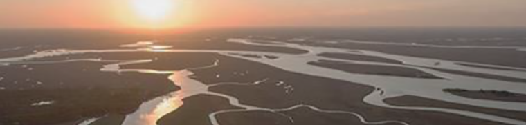
- Restoration of Wetlands, Rivers, Marshes, and Coastlines
- Planning and Certification for LEED and Sustainable SITES
Related Projects
- Water Resources Management & Sustainability Plans (WRMSP) for five Air Force installations
- Completion of Multiple Area Development Plans, Transportation Study, and Utility Master Plan and Naval Station Guantanamo Bay
- Compatible Land Use Strategy development for more than 80 combined Air Force, Navy, and Marine Corps installations, worldwide
- Completion of nine Military - Community Joint Land Use Study or Compatible Use Studies by Communities throughout the U.S.
- Development of Conservation and Readiness and Environmental Protection Integration (REPI) Partnerships in 17 regions that have successfully acquired more than $20 million in funding.
- Military Installation Resilience Assessments at more than 15 Installations including Sea Level Rise/Storm Surge/Flood Modeling, Vulnerability Assessment, Adaptation Planning, and 3D/4D Visualizations
- Development of Community Partnerships among Installations and Communities in more than 40 Regions Leading to over 500 Potential Partnerships and over 100 signed agreements
- Climate, Environment, and Resilience Plan for George Washington Region, Virginia with Community Vulnerability and Risk Assessment, Adaptation and Resilience Planning
- GIS Strategic Conservation Plans and Scenario Planning Prioritization Models for Southwest Virginia, New River Land Trust
- Community Resilience Toolkit with Metrics, Models, and an Adaptive Risk Management Framework Supporting Community Engagement, Risk Identification, and Community Resilience Planning Strategies, Resilient Communities and Watersheds
- Assessments and Adaptation Planning at NAVSTA Newport for Ecological Impacts of Climate Change on Species, Habitats, Ecosystems, and Ecological Processes
- Ecosystem Services Planning and Design at NSA Annapolis including Green Infrastructure Designs for Living Shorelines, Water Quality Improvements, and Shoreline/Habitat Restoration

Solutions & Innovations
Marstel-Day also performs scientific data-driven analyses that highlight the depth, function, value, and interconnectivity of built and natural systems to understand risks, identify gaps, and determine new and innovative opportunities. These efforts help to better understand the dynamics of a space, achieve higher buy-in from stakeholders, improved cost-effectiveness, and support holistic designs that are easy to implement, monitor, and manage.